
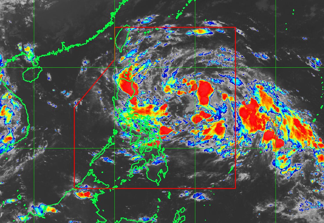
PAGASA release updates of Bagyong Odette is slightly intensified as it moves westward over the Philippine Sea, at around 5:00 a.m. on Thursday, October 12, 2017. The center of Bagyong Odette is at the 15th cyclone to hit the Philippines this year, was estimated based on all available data at 730 km East of Tuguegarao City, Cagayan (17.5°N, 128.6°E).
It has a maximum sustained wind of up to 55 kph near the center and gustiness of up to 65 kph. It is forecast to move West at 26 kph.
All are advised to take precautionary measures against heavy rains, strong winds, lightning and possible flash-floods. Keep monitoring for updates.
PAGASA Forecast Position of Bagyong Odette:
24 Hour (Tomorrow morning): 115 km East of Tuguegarao City, Cagayan (17.6°N, 122.8°E)
48 Hour (Saturday morning): 210 km West Northwest of Sinait, Ilocos Sur (18.0°N, 118.5°E)
72 Hour (Sunday morning): 650 km West of Sinait, Ilocos Sur (OUTSIDE PAR) (18.3°N, 114.3°E)
96 Hour (Monday morning): 1,095 km West of Sinait, Ilocos Sur (OUTSIDE PAR) (18.5°N, 110.1°E)
Tropical cyclone warning signal (TCWS) No. 1 was raised over seven (7) areas of Luzon: Cagayan including Babuyan group of Islands, Isabela, Apayao, Abra, Kalinga, Mountain Province and Ifugao.
The estimated rainfall amount is from moderate to heavy within the 350 km diameter of the Tropical Depression.
Share your thoughts and comment in discussion box below!


