PAGASA announced that ‘Bagyong Butchoy’ (International name: Nepartak) has entered the Philippine Area of Responsibility (PAR) around 2:00 p.m. last Tuesday, July 5, 2016. The hashtag “#ButchoyPH” was located based on all available data at 1, 325 km east of Casiguran, Aurora (16.5°N, 134.5°E) with maximum sustained winds of 140 kph near the center and gustiness of up to 170 kph. According to PAGASA, it is forecast to move northwest at 30 kph.
Bagyong Butchoy has intensified into a typhoon before entering PAR. As the PAGASA stated, “it is not expected to make landfall but forecast to enhance the southwest monsoon or habagat in the next few days”.
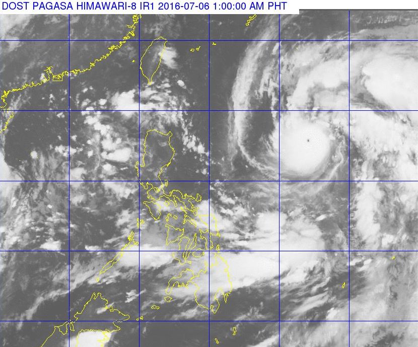
Below is the 24-hour weather forecast from PAGASA. Typhoon “BUTCHOY” has intensified further as it maintain its speed and direction.
Cloudy skies with light to moderate rains and thunderstorms will be experienced over Visayas and the regions of Bicol, Mimaropa, Davao and Caraga. Partly cloudy to cloudy skies with isolated rainshowers or thunderstorms will prevail over Metro Manila and the rest of the country.
Moderate to strong winds blowing from the southwest will prevail over Southern Luzon, Visayas, Mindanao and the eastern section of Northern and Central Luzon. The coastal waters along this areas will be moderate to rough. Elsewhere, winds will be light to moderate coming from the southwest to south with slight to moderate seas.
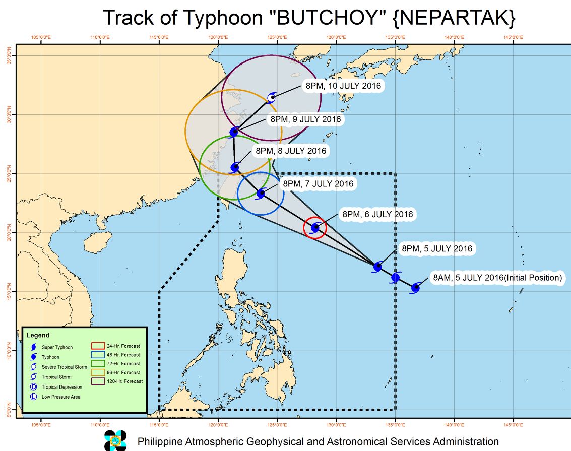
PAGASA experts said the typhoon is tracking toward Taiwan-Okinawa area and is expected to exit PAR by Friday afternoon.
Meteorologist Adam Douty of AccuWeather noted that the Philippines, Taiwan and China are expected to receive the greatest threat from tropical cyclones until the end of August.
For more updates, please follow us on Twitter and by linking us on Facebook.


