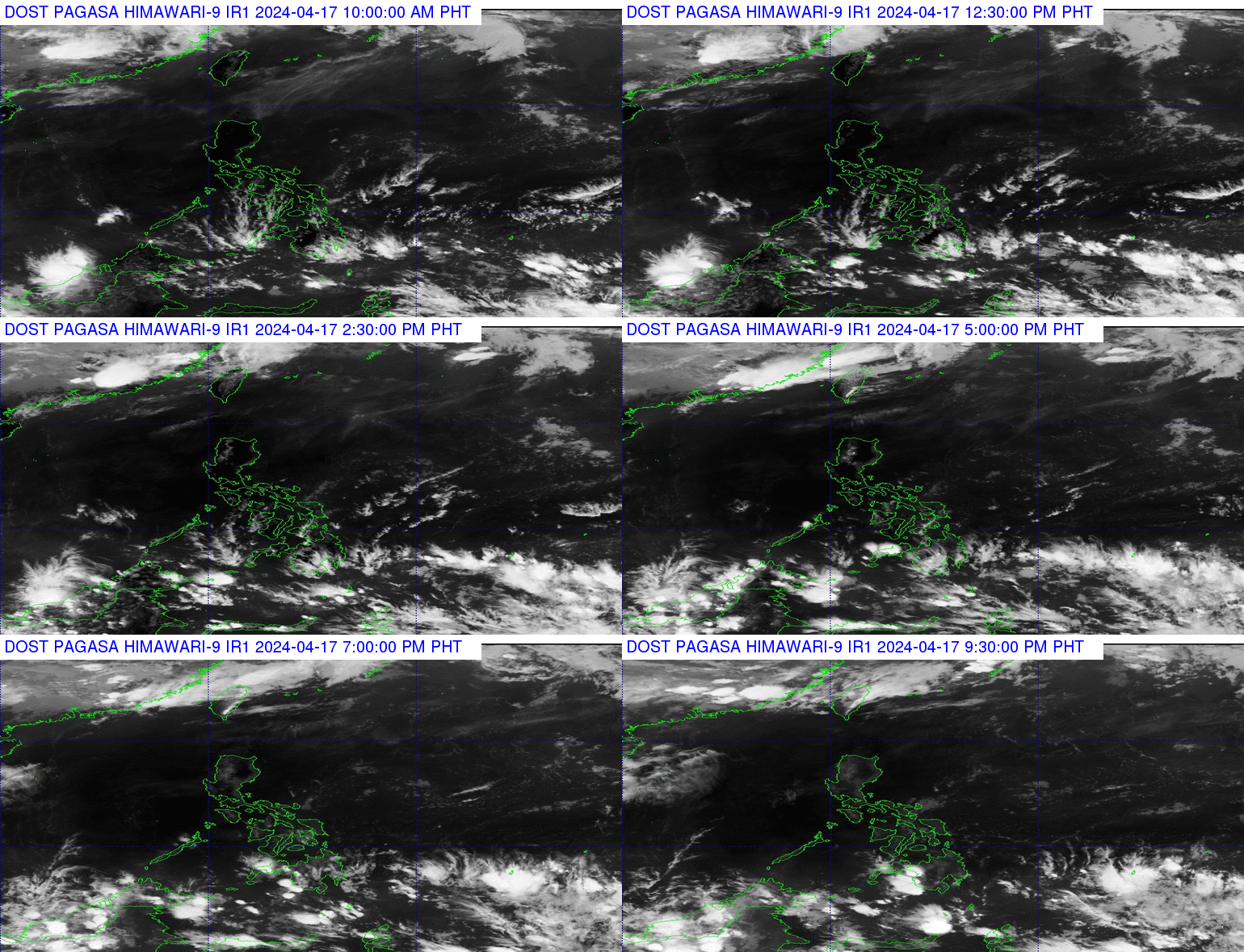
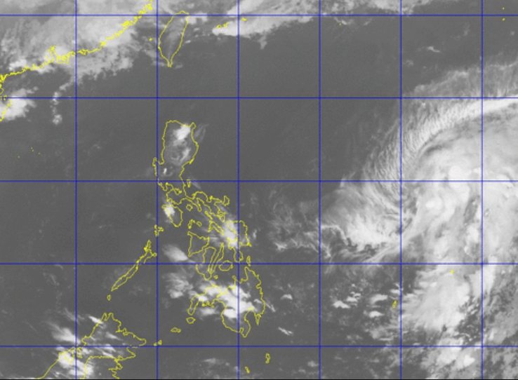
Tropical Storm “Dante” enters the Philippine Area of Responsibility (PAR) in the eastern part of Southern Luzon. The center of the tropical storm was estimated based on all available data at 1, 330 km east of Casiguran, Aurora (14.7°N, 134.4°E).
Its maximum sustained winds of 65 kph near the center and gustiness of up to 80 kph. It is forecast to move north at 13 kph. The edge of a high pressure area extending over Northern Luzon, said PAGASA.
PAGASA Forecast: Partly cloudy to cloudy skies with isolated rain-showers or thunderstorms will be experienced over Metro Manila and the rest of the country.
PAGASA added, “Moderate to occasionally strong winds blowing from the east to northeast will prevail over Northern Luzon and its coastal waters will be moderate to occasionally rough. Light to moderate winds coming from the northeast to north will prevail over Eastern Visayas and over the rest of Luzon and from the north to northwest over the rest of the country with slight to moderate seas.”

Expect light to moderate rains over Cebu (Lapu-Lapu City) and nearby areas within 30 minutes to an hour.
Light to moderate rains affecting portions of CamiguinIsland, MisamisOccidental, ZamboangadelNorte (Dapitan, Dipolog, Piñan), MisamisOriental (Gitagum, Lugait) and nearby areas which may persist for an hour.
For more updates, please follow us on Twitter and by linking us on Facebook.


