On Tuesday, June 6, 2023, according to PAGASA, a Low Pressure Area located east of Eastern Visayas has transformed into a Tropical Depression and will be named locally as Bagyong Chedeng.
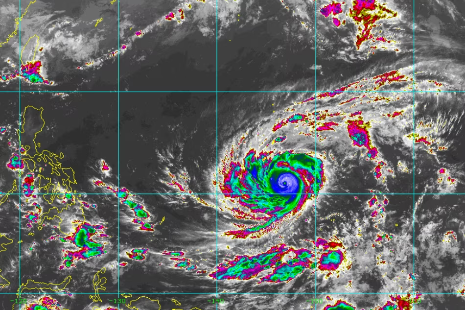
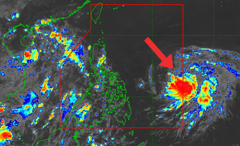
A low pressure area (LPA) is being monitored by the state weather bureau PAGASA, which has the potential to strengthen within the Philippine area of responsibility (PAR). The LPA is currently located 970 km to the east of Eastern Visayas.
Currently, the Low Pressure Area (LPA) is not affecting the weather conditions in the Philippines today.
Bagyong Chedeng is currently situated 1,170 km East of Southeastern Luzon. It has maximum sustained winds of 45 km/h near the center, with gustiness of up to 55 km/h. The central pressure of the storm is at 1004 hPa, according to PAGASA.
Cloudy skies with scattered rainshowers and thunderstorms are expected in Palawan due to the southwest monsoon or habagat. Partly cloudy to cloudy skies with isolated rainshowers or thunderstorms are expected in Metro Manila and the rest of the country. This is due to the habagat and localized thunderstorms.
In the next four days, Chedeng is expected to intensify and there is a possibility that it may be classified as a tropical storm by tomorrow. A tropical cyclone is expected to potentially become a typhoon by Thursday and reach its maximum strength over the weekend while situated in the Philippine Sea to the east of Northern Luzon.


