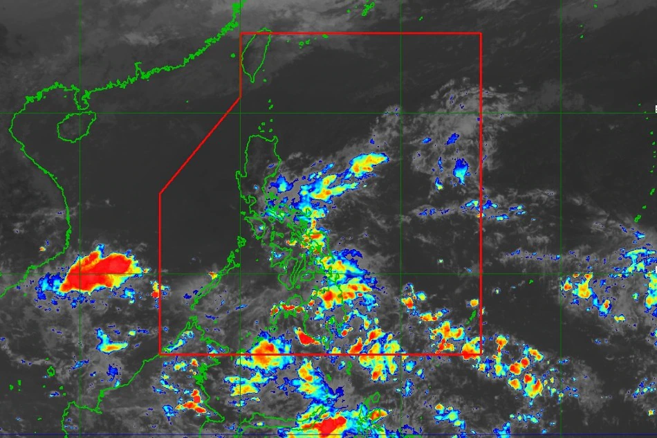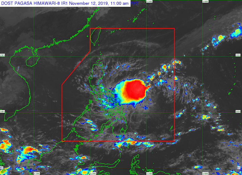
A low pressure area (LPA) southeast of Mindanao will bring rain to the region on Wednesday, according to the state weather agency.
At 3 p.m., the LPA was 445 kilometers east of General Santos City. According to PAGASA, it is buried along an Intertropical Convergence Zone (ITCZ) or cloud band.

It was predicted that the low pressure region would not evolve into a storm. The LPA is likely to hit the West Philippine Sea this weekend as it moves westward.
Mindanao and Eastern Visayas will see overcast skies with occasional rain showers and thunderstorms due to the LPA and ITCZ. According to the meteorological service, a shear line would bring the same weather conditions to Bicol Region, Quezon, Aurora, and Isabela.
Meanwhile, owing to localized thunderstorms, Metro Manila and the rest of the nation may see partly overcast to cloudy sky with isolated rain showers or thunderstorms, according to PAGASA.
During heavy rain, PAGASA warned that flash floods and landslides might occur in communities.
In late October, severe tropical storm Paeng dumped heavy rainfall on broad areas of the Philippines, especially Mindanao, causing deadly floods and landslides.


