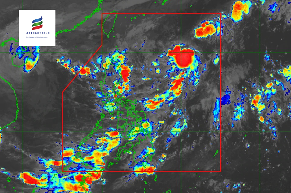
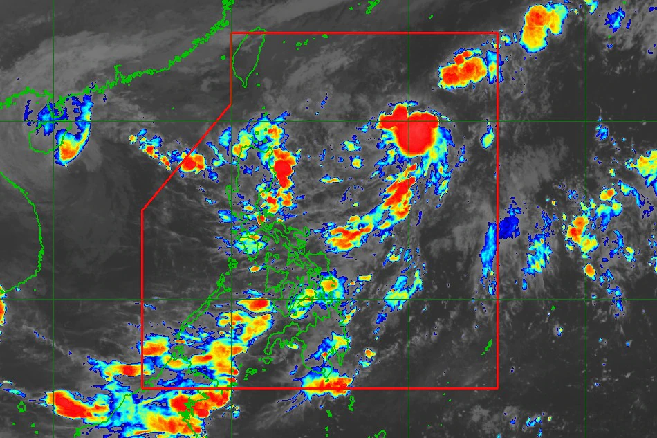
Tropical Depression Obet remained strong as it moved northwestward over the Philippine Sea towards extreme northern Luzon, according to the Philippine Atmospheric, Geophysical, and Astronomical Services Administration (Pagasa).
According to Pagasa weather specialist Chris Perez, Obet was last located 1,025 kilometers east of extreme northern Luzon at 11 a.m. Typhoon warning.
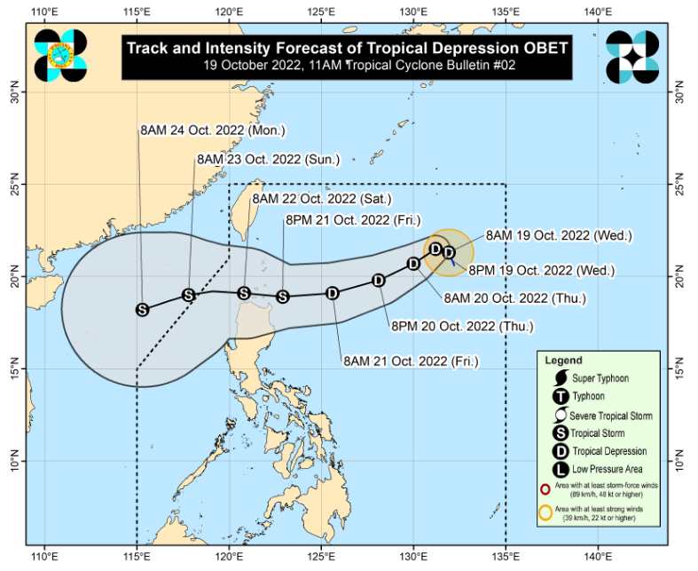
This was moving north-northwestward at 15 kilometers per hour (kph), with maximum sustained winds of 45 kilometers per hour (kph) and gustiness of 55 kilometers per hour (kph).
“‘Yung forecast track ay halos katulad ng bagyong si Neneng, at ‘yung inaasahan pa rin nating lugar na direktang maapektuhan nakararami ang bahagi ng Northern Luzon,” Perez explained.
(The forecast track is nearly identical to that of Typhoon Neneng, and the area we expect to be directly affected is primarily Northern Luzon.)
As of this writing, no tropical cyclone wind warnings had been issued as a result of Obet, but Perez warned that Pagasa could do so in some areas of Northern Luzon by Wednesday night or Thursday morning.

Obet has had no direct effect on the Philippines yet, according to the state weather bureau, though heavy rains are expected to begin early Friday morning in parts of Northern Luzon, with at times intense rainfall.
Despite this, Perez warned of strong to gale-force winds over Batanes, Babuyan Islands, and northern portions of mainland Cagayan, Apayao, and Ilocos Norte in the next 24 hours due to the prevailing northeasterly surface windflow.


