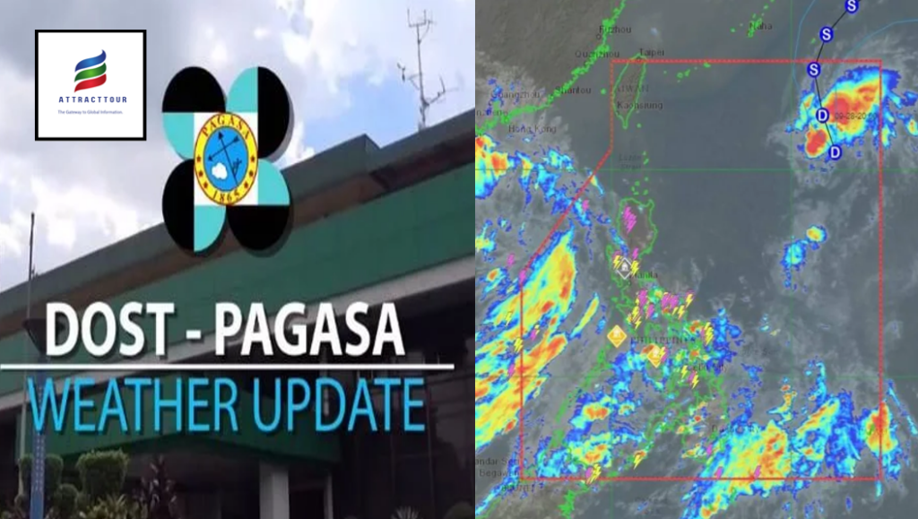
According to the Philippine Atmospheric, Geophysical, and Astronomical Services Administration (Pagasa), the low-pressurepressure area (LPA) near extreme Northern Samar has now grown into a tropical depression named “Luis.”
While Luis is expected to intensify into a tropical storm within the next 24 hours, “it is likely to exit the Philippine Area of Responsibility Thursday morning or afternoon” and will “unlikely to directly affect the weather conditions in the country within the forecast period,” according to weather forecaster Grace Castaneda.
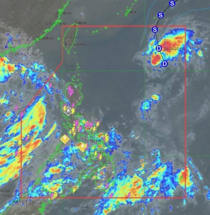
Pagasa stated at 11 a.m. Luis is expected to travel north-northwestward in the next 24 hours before turning north-eastward Thursday night. The tropical cyclone, estimated to be 1,100 kilometers east of extreme Northern Luzon, is moving north-westward at 25 kilometers per hour (kph), with maximum sustained winds of 55 kilometers per hour (kph) near the center and gustiness of up to 70 kilometers per hour, according to the state-run weather agency.
The southwest monsoon and the LPA outside PAR will deliver rain across the western portion of Southern Luzon, Eastern and Western Visayas, and the eastern half of Mindanao over the next 24 hours, according to Pagasa.


