Typhoon “Rolly” continues to intensify while moving westward over the Philippine Sea. Days after Typhoon Quinta lashed Oriental Mindoro, residents there are preparing for the onslaught of Typhoon #RollyPH, which is expected to make landfall on Sunday evening or Monday morning.
“ROLLY” is forecast to move west-southwestward this afternoon until Saturday evening. Afterward, the typhoon will turn west-northwestward as it moves over the sea off the coast of the Bicol Region towards the eastern coast of the Aurora-Quezon area. On the forecast track, the center of the eye of “ROLLY” is likely to make landfall over the Aurora-Quezon area on Sunday evening or Monday early morning.
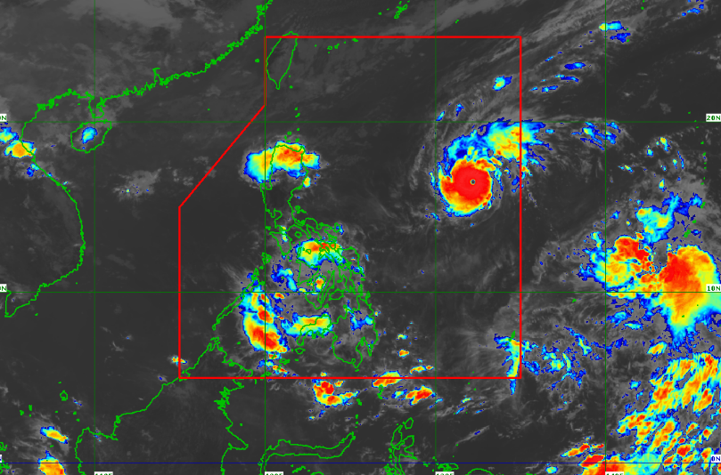
Other tropical systems being monitored: Tropical Storm “ATSANI” outside PAR was estimated at 2,150 km East of Mindanao (10.5ºN, 145.1ºE). It has maximum sustained winds of 65 km/h near the center and gustiness of up to 80 km/h. It is moving west-northwestward at 35 km/h.
Based on all available meteorological data, this tropical cyclone is likely to enter the PAR on Sunday or Monday. However, it is less likely to bring severe weather over any locality of the country over the next 3 days.