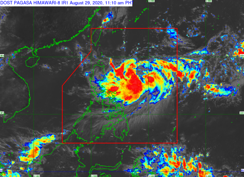
PAGASA released the latest update of Bagyong “Julian” on Saturday, August 29, 2020. Bagyong “JULIAN” continues to rapidly intensify while remaining almost stationary.
According to the PAGASA latest updates, “JULIAN” is currently almost stationary over the Philippine Sea. It is forecast to move slowly northward today, then gradually accelerate generally northward tomorrow (30 August) before turning northwestward on Monday (31 August).
The location of eye/center at 10:00 AM today, the center of Severe Tropical Storm “JULIAN” was estimated based on all available data at 850 km East of Tuguegarao City, Cagayan or 800 km East of Casiguran, Aurora (16.4°N, 129.6°E).
Maximum sustained winds of 100 km/h near the center and gustiness of up to 125 km/h.
Forecast Positions
• 24 Hour (Tomorrow morning): 890 km East of Calayan, Cagayan (17.6°N, 129.7°E)
• 48 Hour (Monday morning):755 km East Northeast of Basco, Batanes (22.2°N, 129.0°E)
• 72 Hour (Tuesday morning): 800 km North Northeast of Extreme Northern Luzon (OUTSIDE PAR) (26.4°N, 126.4°E)
• 96 Hour (Wednesday morning):1,160 km North Northeast of Extreme Northern Luzon (OUTSIDE PAR) (30.2°N, 126.0°E)
PAGASA Reminders:
The public and the disaster risk reduction and management council concerned are advised to take appropriate actions and watch for the next update to be incorporated in the 4 PM Public Weather Forecast and in the next Severe Weather Bulletin to be issued at 11 PM today.
Share your thoughts and comment in the discussion box below.