The Philippine Atmospheric, Geophysical and Astronomical Services Administration (PAGASA) announces updates of Bagyong “LIWAYWAY”. The Tropical Storm Liwayway has slightly intensified as it moves northward.
“LIWAYWAY” is forecast to exit the Philippine Area of Responsibility between tomorrow afternoon and evening.
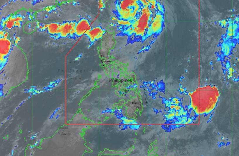
Bagyong “LIWAYWAY” has a maximum sustained winds of 130 kph near the center and gustiness of up to 160 kph. At 4:00 AM today, the eye of Typhoon “LIWAYWAY” was located based on all available data at 305 km Northeast of Basco, Batanes (22.1 °N, 124.3 °E). Moving North at 10 kph and there is no Tropical Cyclone Wind Signal.
Forecast Position
- 24 Hour(Tomorrow morning): 460 km Northeast of Basco, Batanes(23.3°N, 125.2°E)
- 48 Hour(Friday morning):720 km North Northeast of Basco, Batanes (OUTSIDE PAR)(26.2°N, 125.2°E)
- 72 Hour(Saturday morning): 1,260 km North Northeast of Basco, Batanes (OUTSIDE PAR)(31.5°N, 124.7°E)
Share your thoughts and comment in discussion box below.


