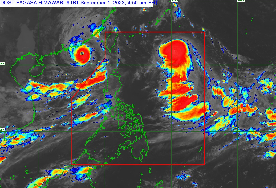
As of 3:00 PM today, Typhoon “HANNA” {HAIKUI} had its center estimated at 705 km East Northeast of Itbayat, Batanes (22.1°N, 128.5°E). It boasts maximum sustained winds of 120 km/h near the center, with gusts reaching up to 150 km/h. The typhoon is currently moving Westward at a speed of 15 km/h. Meanwhile, a Southwest Monsoon is influencing the country’s weather.
FORECAST:
Antique, Palawan, including Kalayaan Islands, and Occidental Mindoro will experience overcast conditions with scattered rain showers, thunderstorms, and monsoon rains due to the Southwest Monsoon. The rest of the Visayas will see partly cloudy to cloudy skies with isolated rain showers or thunderstorms, primarily influenced by the Southwest Monsoon and localized thunderstorms.
Expect moderate to strong southwest winds in Visayas, Palawan, including Kalayaan Islands, and Occidental Mindoro, resulting in moderate to rough seas.
Yellow Warning: MetroManila, Zambales, Bataan, Pampanga, Bulacan.
Associated Hazard: FLOODING in flood-prone areas
Meanwhile, expect light to moderate with occasional heavy rains over Nueva Ecija, Cavite, Rizal, Batangas, Laguna, and Quezon within the next 3 hours.
Light to moderate with occasional heavy rains affecting Tarlac which may persist within 3 hours and may affect nearby areas.