Pagasa reported that tropical storm ‘Chedeng’ (international name ‘Guchol’) has intensified on Wednesday. However, it is not anticipated to have a direct impact on the country.
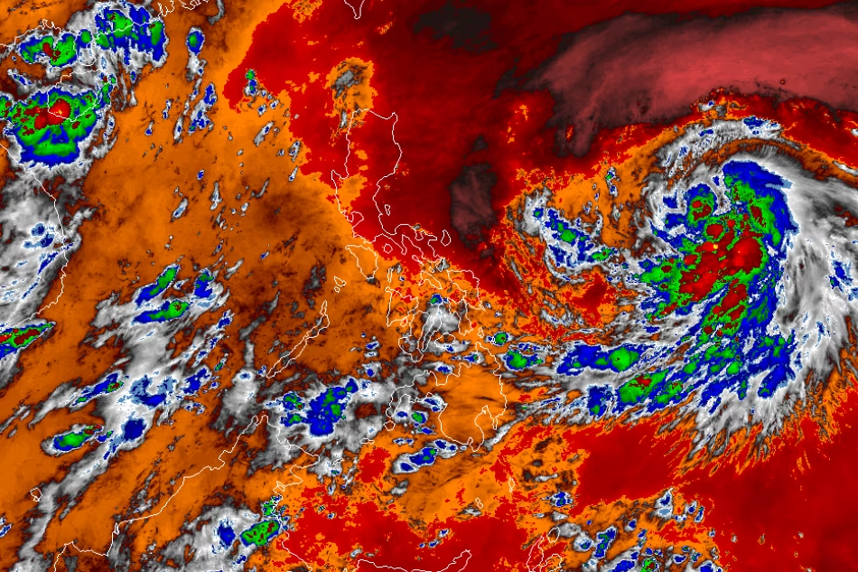
The latest tropical cyclone bulletin from PAGASA reports that Chedeng was spotted 1,060 km to the east of southeastern Luzon.
Expect Chedeng to bring maximum sustained winds of 75 kph near the center and gusts of up to 90 kph. Expect the movement to continue in a west-northwest direction at a speed of 10 kilometers per hour.
In the next 3 to 5 days, it is unlikely that Chedeng will cause heavy rainfall in any part of the country. Philippine weather is not expected to be affected by it.
Tropical depression Chedeng has intensified into a tropical storm on Tuesday evening. It is forecasted to exit the Philippine area of responsibility by Monday or Tuesday of the following week.
There is a possibility that Chedeng could enhance the impact of the southwest monsoon, also called “habagat.” However, this will be determined by the movement and strength of Chedeng in the upcoming days.
In Palawan, expect cloudy skies with rainshowers and thunderstorms brought about by the habagat. Meanwhile, Metro Manila and the rest of the country will experience partly cloudy to cloudy skies with isolated rainshowers or thunderstorms.


