The PAGASA released statement of Bagyong “BUTCHUY” is now slightly intensified as it moved away from Luzon. According to PAGASA, the tropical storm expected to exit the Philippine Area of Responsibility (PAR) tonight or tomorrow morning and is forecast to move generally northwestward towards southern China.
A Overnight rains caused by Butchoy had resulted in floods in many areas in the Philippines.
Watch video below: (Courtesy by GMA News)
Moderate to heavy rains over Zambales, Bataan, Pangasinan, the northern portion of Palawan including Calamian and Cuyo Islands, and Occidental Mindoro. Light to moderate with at times heavy monsoon rains over Metro Manila, Western Visayas, and the rest of Luzon.
Location of eye/center:
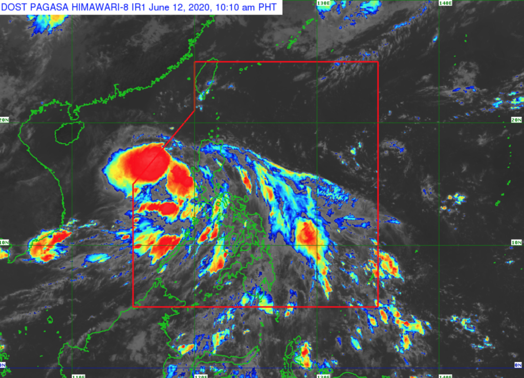
At 10:00 AM today, the center of Tropical Depression “BUTCHOY” was estimated based on all available data at 140 km West Northwest of Iba, Zambales or 165 km West of Dagupan City, Pangasinan (15.9°N, 118.8°E).
Strength:
Maximum winds of 55 km/h near the center and gustiness of up to 70 km/h.
Movement:
Moving West Northwestward at 25 km/h.
(Source PAGASA)
Share your thoughts and comment in the discussion box below.


