Top Trending topic online! Typhoon Falcon (international name Chan-Hom) entered the Philippine area of responsibility around 9:30 in the evening, last Tuesday, July 07, 2015, according to the weather service PAGASA.
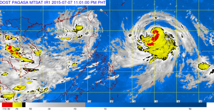
PAGASA reported at 10 p.m. Bagyong Falcon last sighted, 1, 400 km east of Aparri, Cagayan, moving west-northwest at 20 kph. It has a maximum sustained winds of 130 kph near the center, with gust of up to 160 kph.
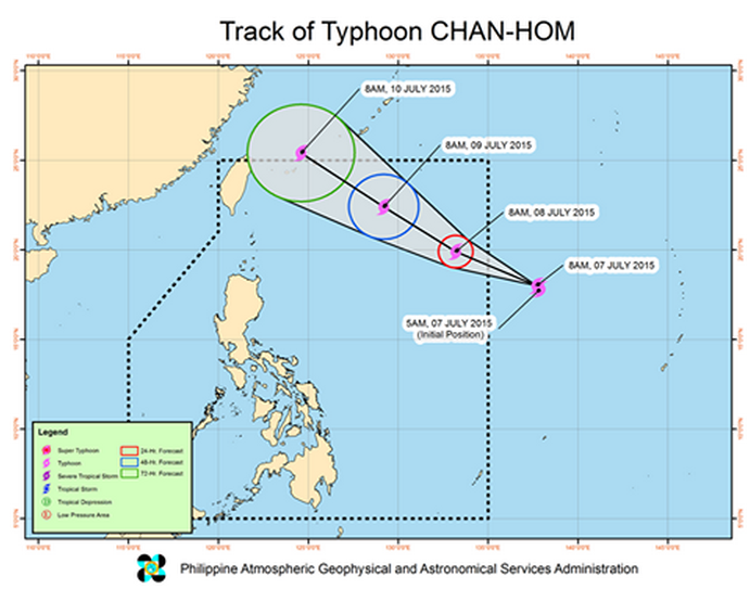
PAGASA projected that Falcon would be;
- 956 kms east of Itbayat, Batanes, Wednesday evening
- 625 kms northeast of Itbayat, Batanes, Thursday evening, and
- 695 kms north of Itbayat, Batanes, or outside the Philippine area of responsibility Friday evening.

Pull the southwest monsoon to bring rains across in the country.
PAGASA reported, the Southwest monsoon or “HABAGAT” is expected to bring moderate to occasionally heavy rains over the Calayan and Babuyan group of islands, Ilocos region and over the provinces of Benguet, Zambales and Bataan.
Important announcement, the residents in these areas are advised to be alert against possible flashfloods and landslides.
For more updates, please follow us on Twitter and by linking us on Facebook.


