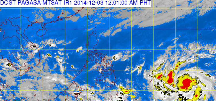
Trending Topic in the Philippines weather bureau, PAGASA, stated that the latest weather uproar, named Bagyong Ruby (International name Hagupit) is set to enter in the country (PAR) Philippine Area of Responsibility which on day of Thursday or Friday, December 4-5, 2014. It was a possible scenario of “Bagyong Ruby” in the Philippines area of responsibility.
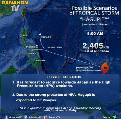
According to the news of PAGASA ‘forecaster’ Buddy Javier said, “Tropical Storm Hagupit was headed towards the eastern portion of the country, packing maximum sustained winds of 75 kilometers per hour (kph) and gusts of up to 90 kph as of 4:00 AM Tuesday”.
PAGASA news added, it will also give a possible chance of scenario for Baryong Ruby to edge the Philippines and it will move towards Japan due to the presence of the anti-cyclone or the high pressure area northeast of the country and the strengthening of the northeast monsoon (amihan) that brings the wind and cold which are uncomplimentary for the weather disturbance.
PAGASA also explained further that a weather disturbance or a typhoon needs at least 26, degrees Celsius of sea surface temperature as to grow it stronger. Good news, Bagyong Ruby could develop into a typhoon but not as strong as Yolanda because of the cold climate right now in the Philippines, but as sure, we should pray and believe it will not happen again as Yolanda disaster early part of November 2013.
Recently, JTWC forecasts Bagyong Ruby (Hagupit), “is packing a 240 kph (130 knots) by December 6, 2014 at around 8:00 AM, when it is nearer to the Philippines”.