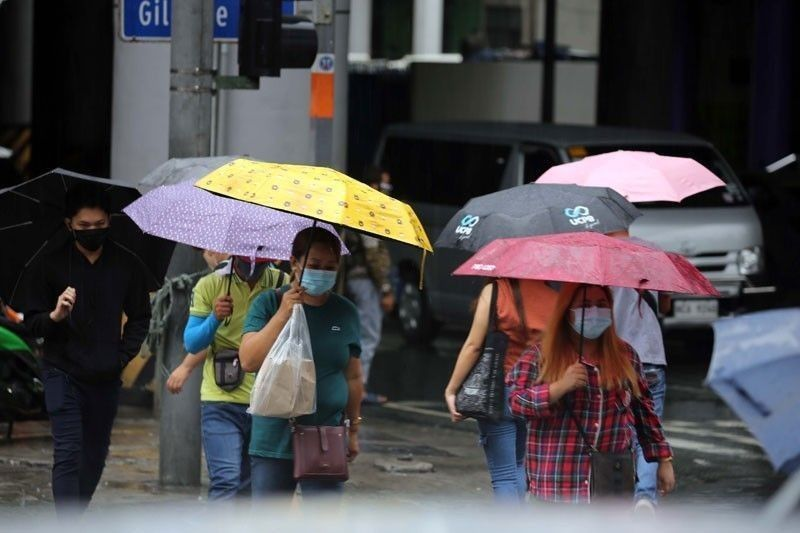
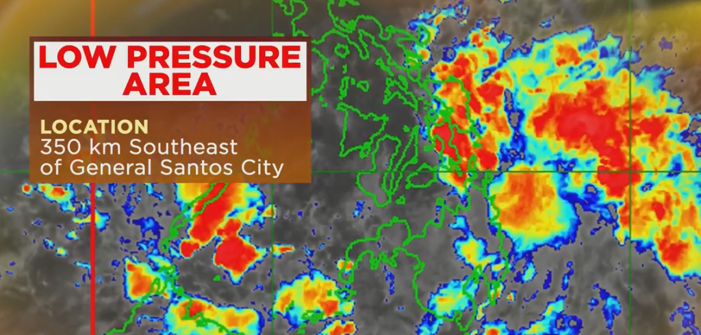
The low pressure area off Mindanao left the Philippine area of responsibility early Thursday, but rains in the region will continue, according to PAGASA, the state weather bureau.
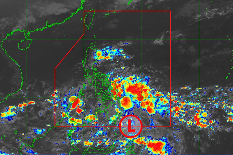
According to the weather service, the LPA’s trough or extension, as well as the Intertropical Convergence Zone or band of clouds, will bring cloudy skies with scattered rain showers and thunderstorms to Mindanao, as well as Eastern Visayas, Central Visayas, Bicol Region, and Palawan.
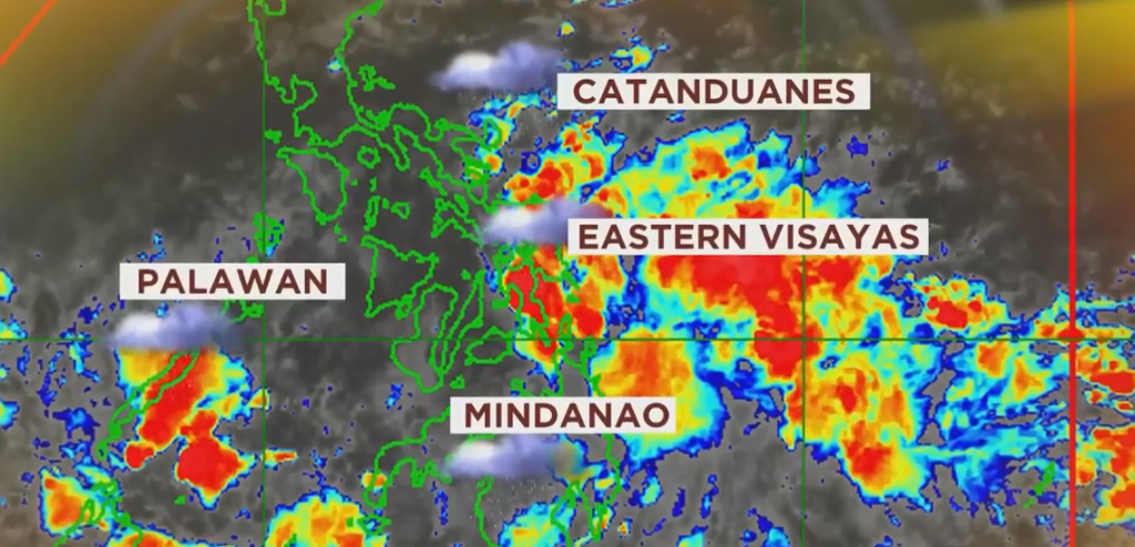
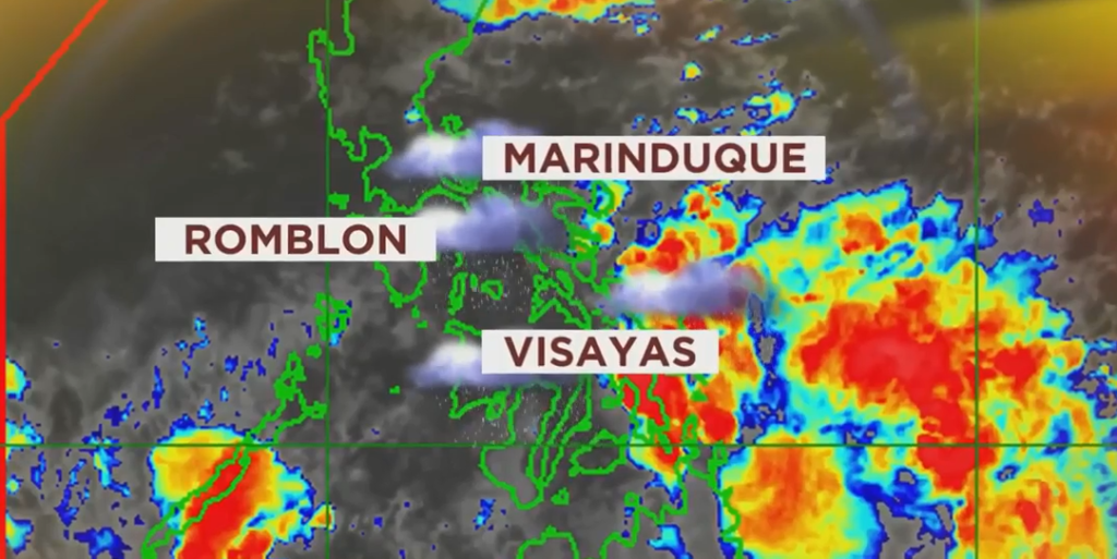
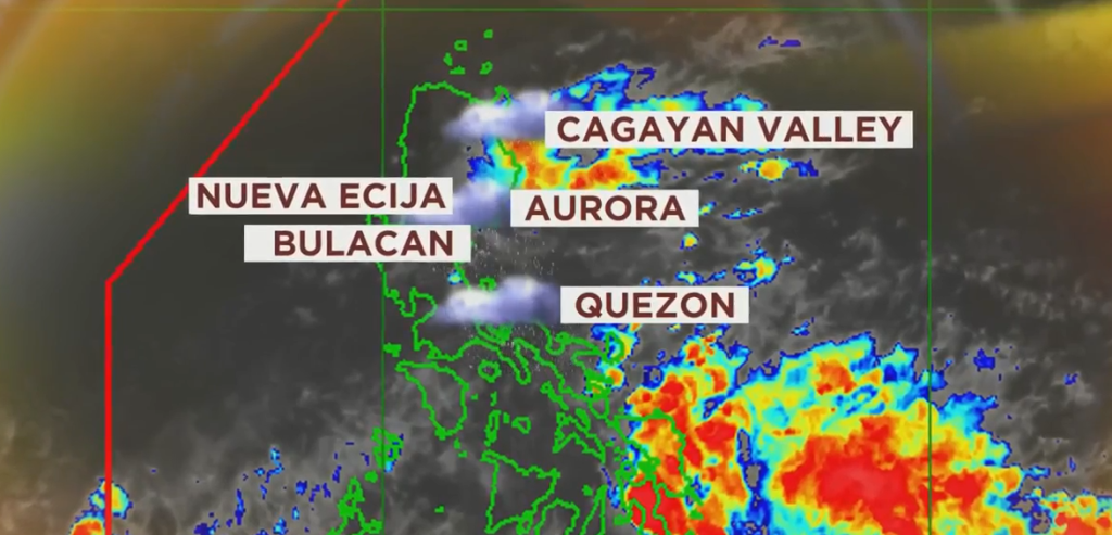
Due to a shear line, residents in Quezon province, Aurora, Isabela, and mainland Cagayan can expect cloudy skies with scattered rain showers and thunderstorms, while the rest of the country can expect partly cloudy to cloudy skies with isolated rain showers or thunderstorms due to localized thunderstorms.
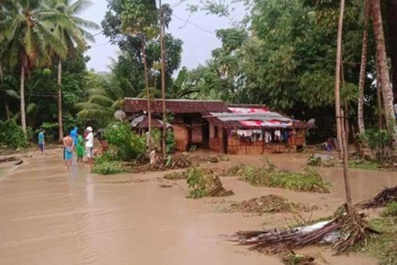
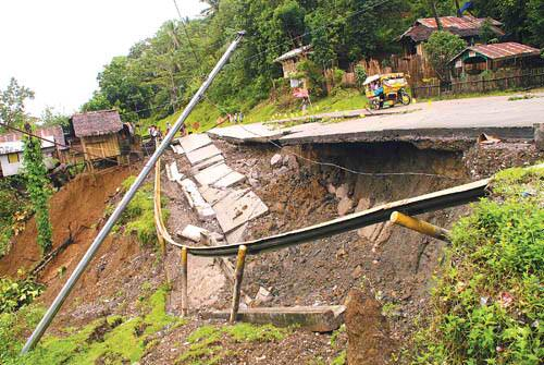
During heavy rain, PAGASA warned that flash floods and landslides could occur in communities.
According to PAGASA, the LPA was last seen 350 kilometers southeast of General Santos City at 10 a.m.
It went on to say that the LPA was not expected to become a storm and would drain away this weekend in the same area.


