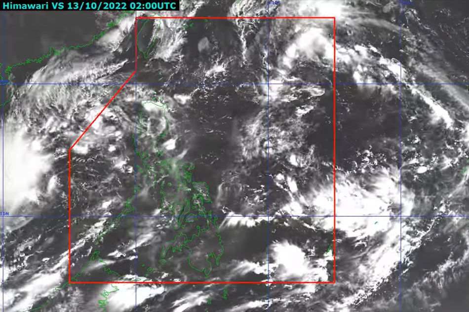
Tropical depression Neneng reached the Philippine area of responsibility at midday on Thursday and is expected to deliver heavy rainfall to the northern tip of Luzon this weekend, according to the state meteorological service PAGASA.

At 4 p.m., Neneng was 1,030 kilometers east of extreme northern Luzon, with maximum sustained winds of 55 kilometers per hour in the center and gusts of up to 70 kilometers per hour, according to PAGASA. It’s heading west at 30 kph.
Neneng may strengthen as it moves across the Philippine Sea, reaching tropical storm status on Saturday. According to the meteorological service, a tropical storm has maximum wind speeds ranging from 87 to 117 kph.
PAGASA is not ruling out additional strengthening before the storm’s close approach to extreme northern Luzon.
“The passage of this tropical cyclone over Extreme Northern Luzon may bring heavy rainfall over the area beginning Saturday,” It issued a warning. The meteorological service warned that isolated to dispersed flooding, flashfloods, and rain-induced landslides are likely under these conditions.
By Sunday, Neneng will be tracking west-northwestward into extreme northern Luzon, where it will either make landfall or pass extremely close to the Babuyan Islands or Batanes.
According to PAGASA, Signal No. 1 might be activated as early as Friday morning or afternoon across the eastern half of northern Luzon in anticipation of winds linked to the coming tropical storm.
It stated that the highest it could hoist is Signal No. 2, where 62 to 88 kph winds might be felt, causing minor roof damage and small power outages.
PAGASA stated at around 4 p.m. Cloudy skies with sporadic rain showers and thunderstorms are likely in Cagayan, Apayao, Isabela, and Ilocos Norte over the next 24 hours owing to the tropical cyclone’s trough or extension.
It stated that Metro Manila and the rest of the nation would see partly overcast to cloudy skies with isolated rain showers owing to localized thunderstorms.


